Construction is happening around town. The 100 & 300 Blocks of Clematis are closed for the Green Market. The 500 Block of Clematis now host the awesome and car-free 500BLK party every weekend till March.
The Palm Beach Boat show will close Flagler for several weeks, and SunFest will start immediately thereafter.
Sometimes it’s enough to make you ?
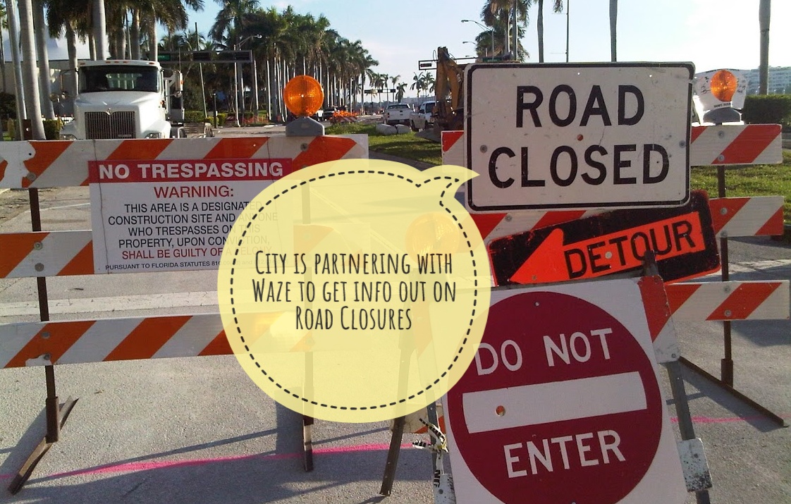
Fear not! The City of West Palm Beach just partnered with Waze GPS App (owned by Google) to update the public with real-time traffic information.
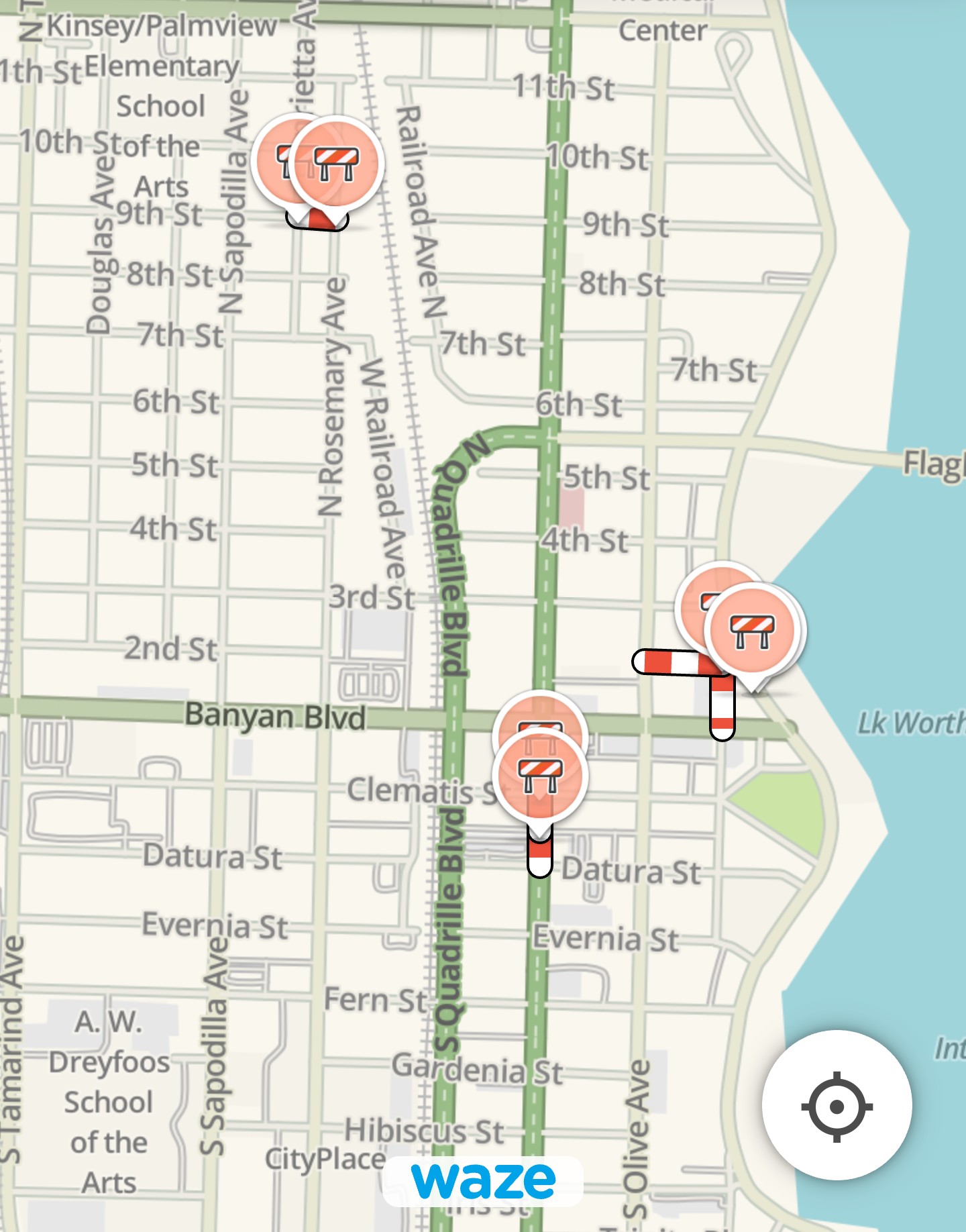
So now before you leave your house you can map out your route to avoid road closures and traffic.
The city is using the Waze for Cities partnership to accomplish this.
Waze’s primary goal is to be your partner in mobility. That means getting Waze-reported incident data to government officials who can help, whether it’s a five-car pile-up or a pothole. It means getting data from government partners to ensure Waze drivers have the best real-time, location-based information about what’s happening in their communities. And of course helping cities improve congestion, sustainability, and access through carpooling.
Waze for Cities website.
Check out these case studies that show how Waze has worked with other cities.
“The City is increasingly using data and technology to help improve the lives of our citizens, business owners, and visitors,” said Mayor Keith A. James. “The information-sharing partnership with Waze helps us to communicate with the public and inform decisions. This is one of many steps we are taking to utilize technology to improve quality of life and shape our city’s future.”
You can also learn about road closures at these links.
- The City publishes a weekly road and dock closure list, which can be found here: https://www.wpb.org/government/communications/road-and-dock-closures.
- Road closures are also shared via WPB-TV, the City’s official television station. The station may be viewed on Channel 18 on Comcast. To view WPB-TV online, please click here: https://www.wpb.org/government/communications/wpb-tv18.
- Road closures are also shared on the City’s social media channels including Twitter (@westpalmbch) and Facebook (@CityofWPB).
- Road closures are also shared via Mayor James’ weekly Insider Newsletter. To subscribe, click here: https://www.wpb.org/government/communications/sign-up-for-the-insider-weekly-newsletter.